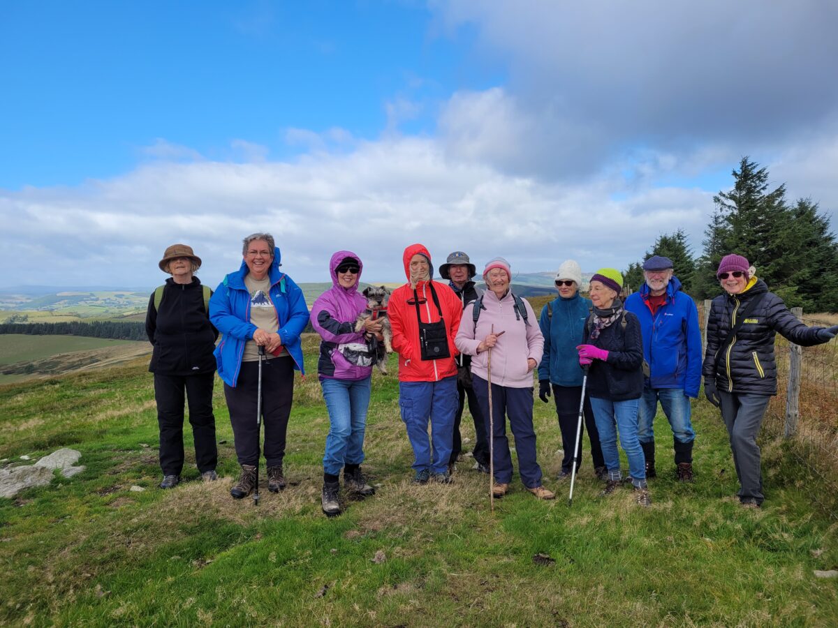
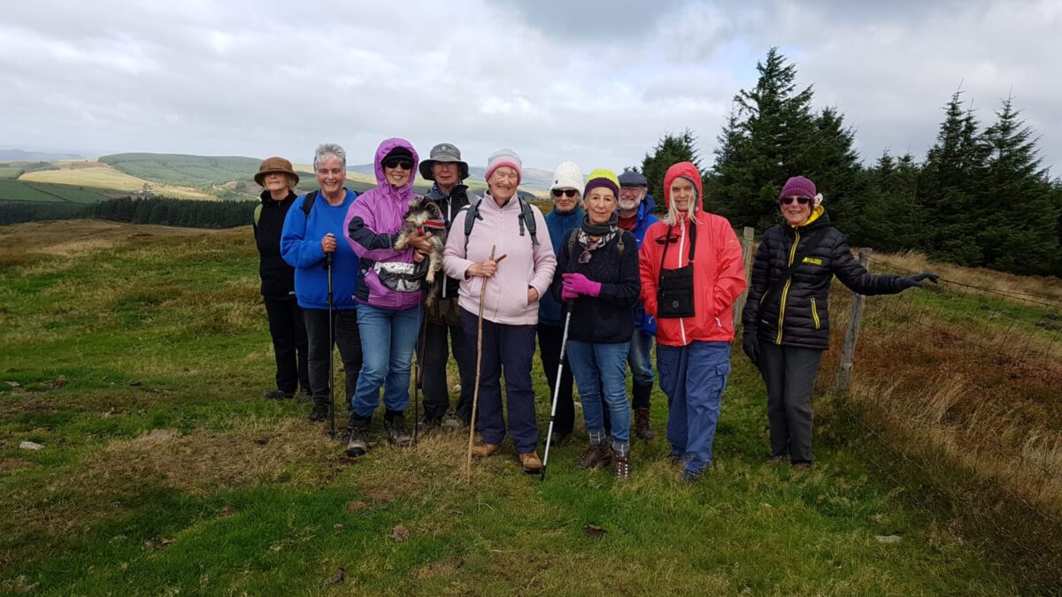
September’s walk saw us trailing up to Camlo Hill. We had caught a glimpse of the charming, whitewashed Carmel Chapel as we drove along the narrow lane between Gwystre and Nantmel to reach the start of the walk. A few days later one member of the group went with some friends to explore the graveyard and look at the chapel.
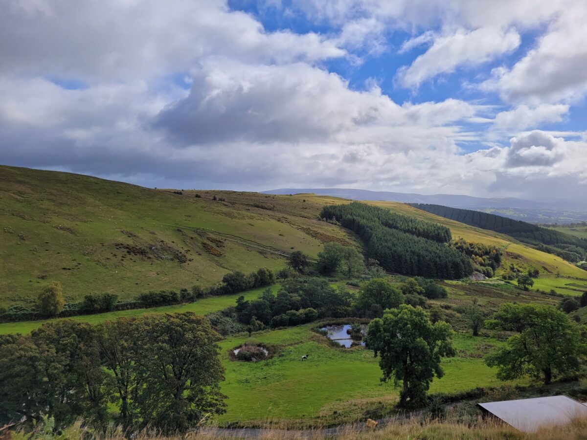
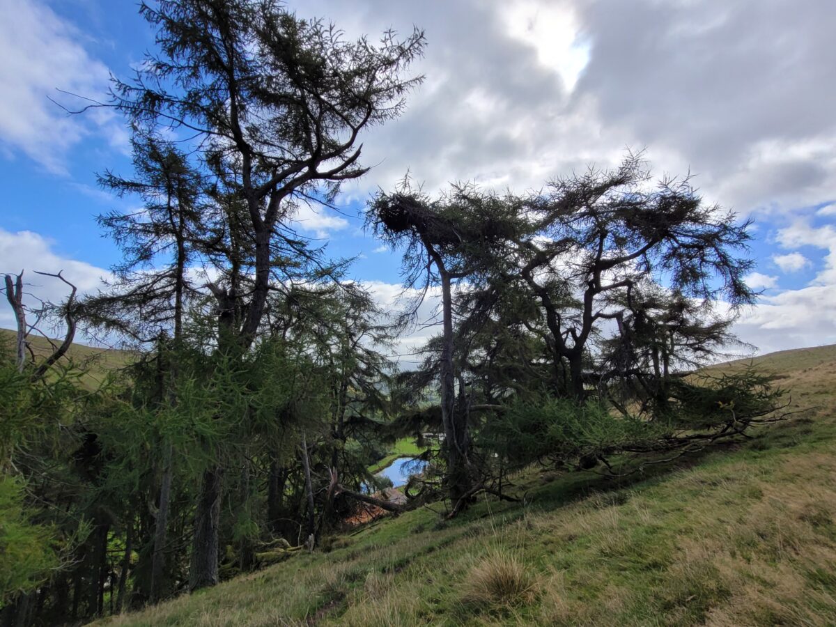
There is a fairly steep ascent to begin with, along the track to Camlo Farm, but this soon levels out to a gentler climb. Passing the entrance to the farm we looked down at a series of ponds, and across the valley to the hills beyond. Continuing along the track we came to a stand of fir, or were they pines? We surmised that this would probably have been an old drovers’ road. The ponds, though probably recently dug, were in a marshy area, which would have served to water the cattle.
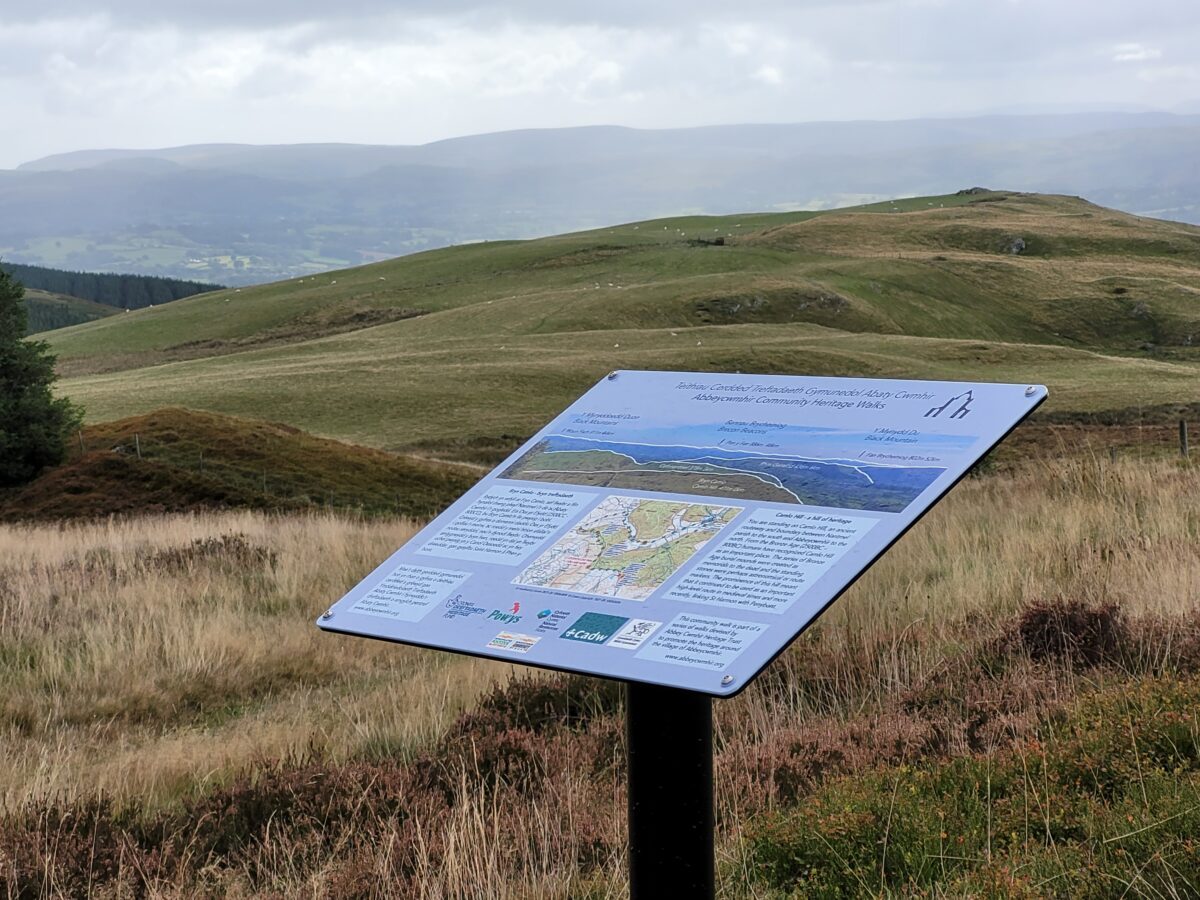
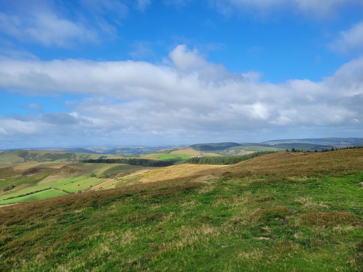
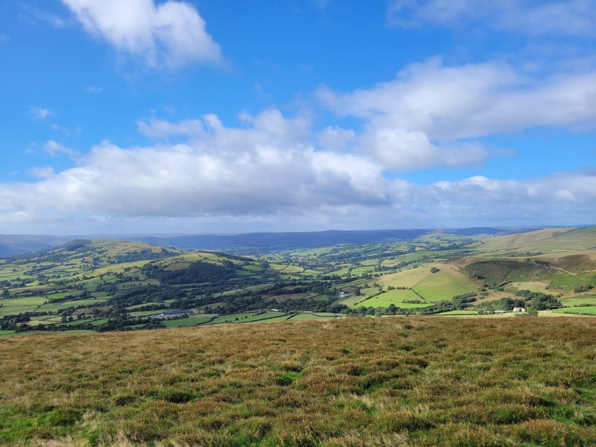
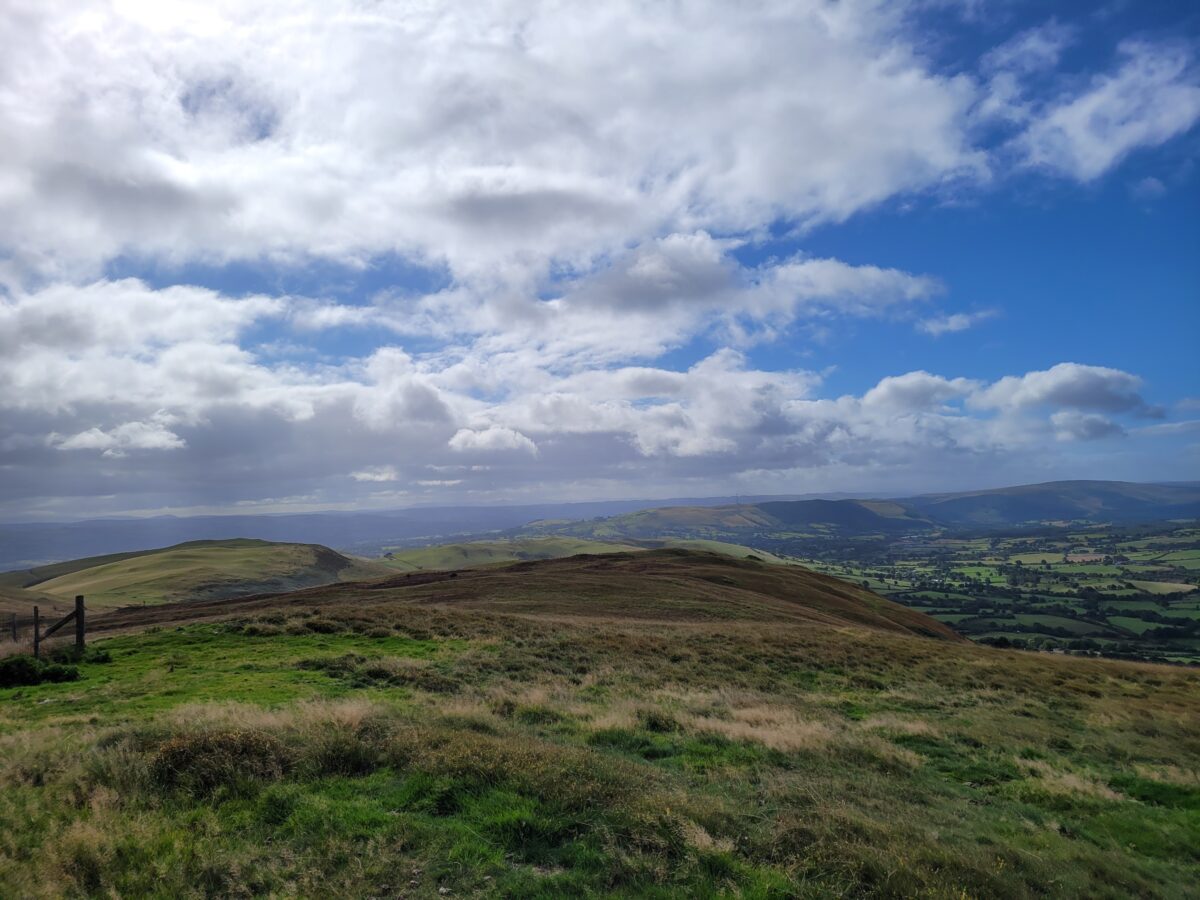
The path continued upwards towards a forested area. On the other side of the fence was one of the tracks from Abbeycwmhir, and towards the top of the hill we came to one of their information boards. It was approximately 2 meters away from our path, so the angle was wrong, but we managed to read what it said: “Camlo Hill – a hill of heritage.
You are standing on Camlo Hill, an ancient routeway and boundary between Nantmel Parish to the south and Abbeycwmhir to the north. From the Bronze Age (2500BC – 800BC) humans have recognised Camlo Hill as an important place. The series of Bronze Age burial mounds were created as memorials to the dead and the standing stones were perhaps astronomical or route markers. The prominence of this hill meant that it continued to be used as an important high-level route in medieval times and more recently, linking St Harmon with Penybont.”
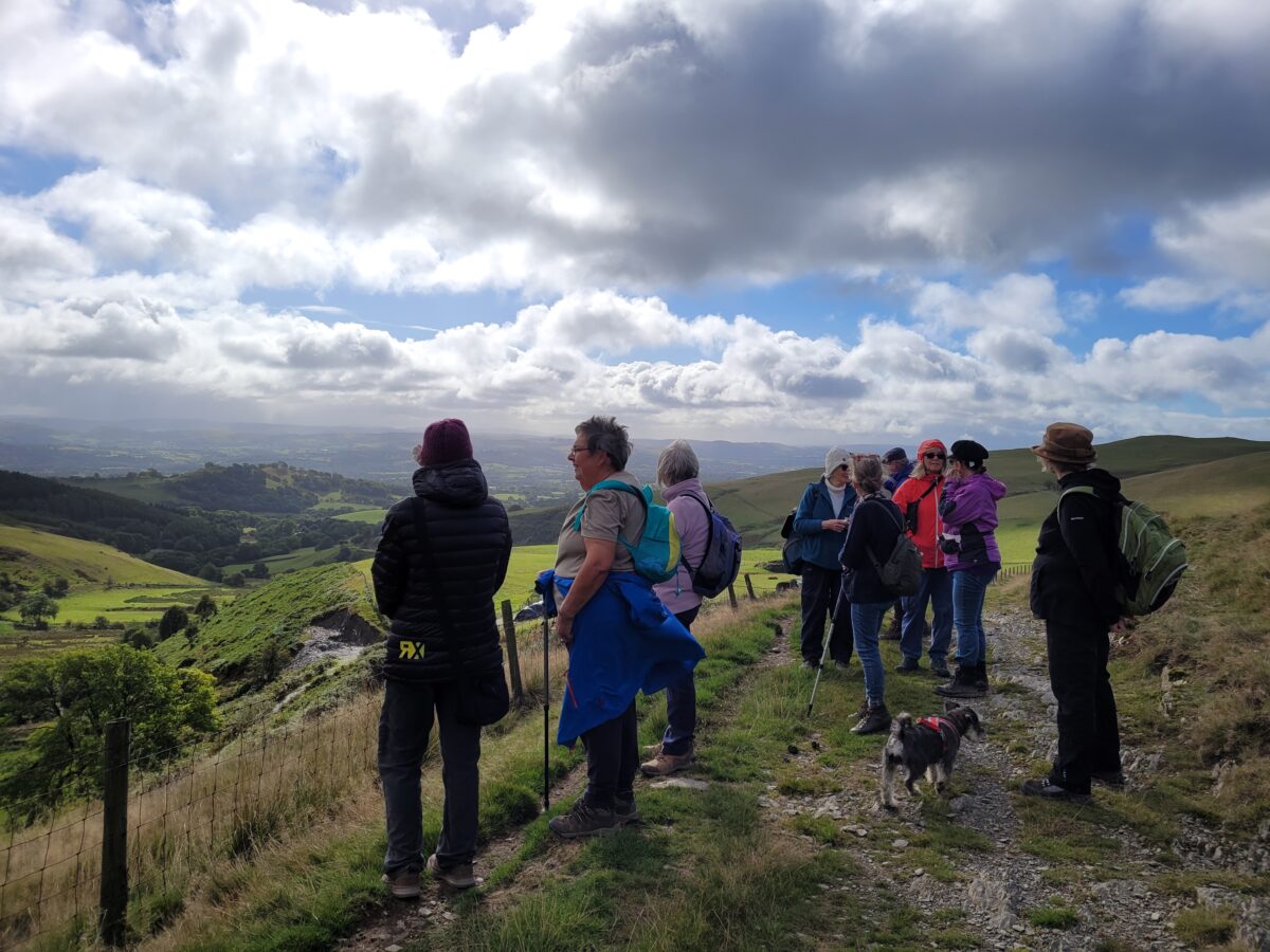
We climbed to a point where we could see a panoramic view all around, before retracing our steps back to the start of the walk.